Transformation in the Ghana Statistical Service
Using data science and automation in the production of price statistics
Read more on Transformation in the Ghana Statistical Service
Using data science and automation in the production of price statistics
Read more on Transformation in the Ghana Statistical Service
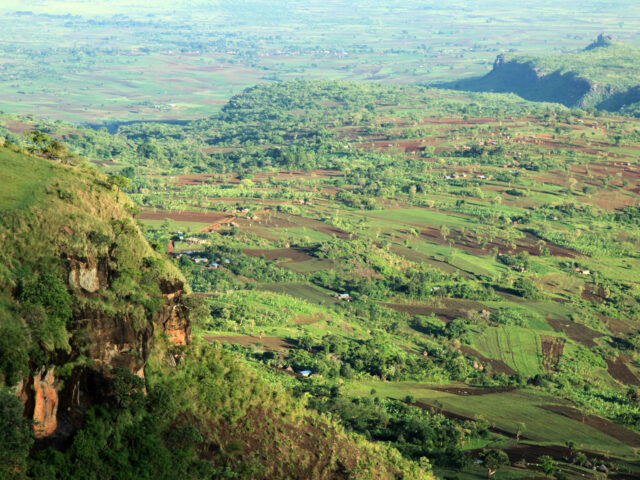
We used machine learning to develop a model to identify areas of trees from satellite images in eastern Uganda, where the Mbale Trees Programme has been running since 2010.
Read more on Using Sentinel-2 images to measure the change in tree coverage in eastern Uganda: what does it mean for the Mbale Trees Programme?
Many countries in the developing world lack regular estimates of road traffic activity. To address this, we applied machine learning techniques to open-source satellite data to generate estimates of traffic volume in Kenya, East Africa.
Read more on Detecting Trucks in East Africa
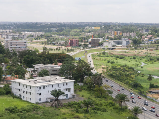
We have been exploring if machine learning methods and publicly available spatial datasets can be used to map and understand HIV risk in Cote d’Ivoire, West Africa.
Read more on Mapping HIV risk in Côte d’Ivoire, West Africa
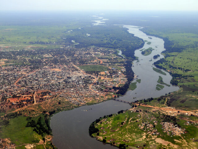
On World Statistics Day 2020, our ONS FCDO Data Science Hub talk about exploring the use of satellite imagery to conduct a cattle census in South Sudan.
Read more on Counting cows in South Sudan