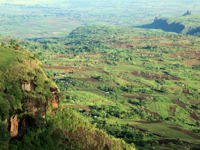
Using Sentinel-2 images to measure the change in tree coverage in eastern Uganda: what does it mean for the Mbale Trees Programme?
We used machine learning to develop a model to identify areas of trees from satellite images in eastern Uganda, where the Mbale Trees Programme has been running since 2010.
Read more on Using Sentinel-2 images to measure the change in tree coverage in eastern Uganda: what does it mean for the Mbale Trees Programme?